Explore Your UK Neighborhood with Data & Insights
Make informed decisions: Explore demographics, crime & schools near your UK address.
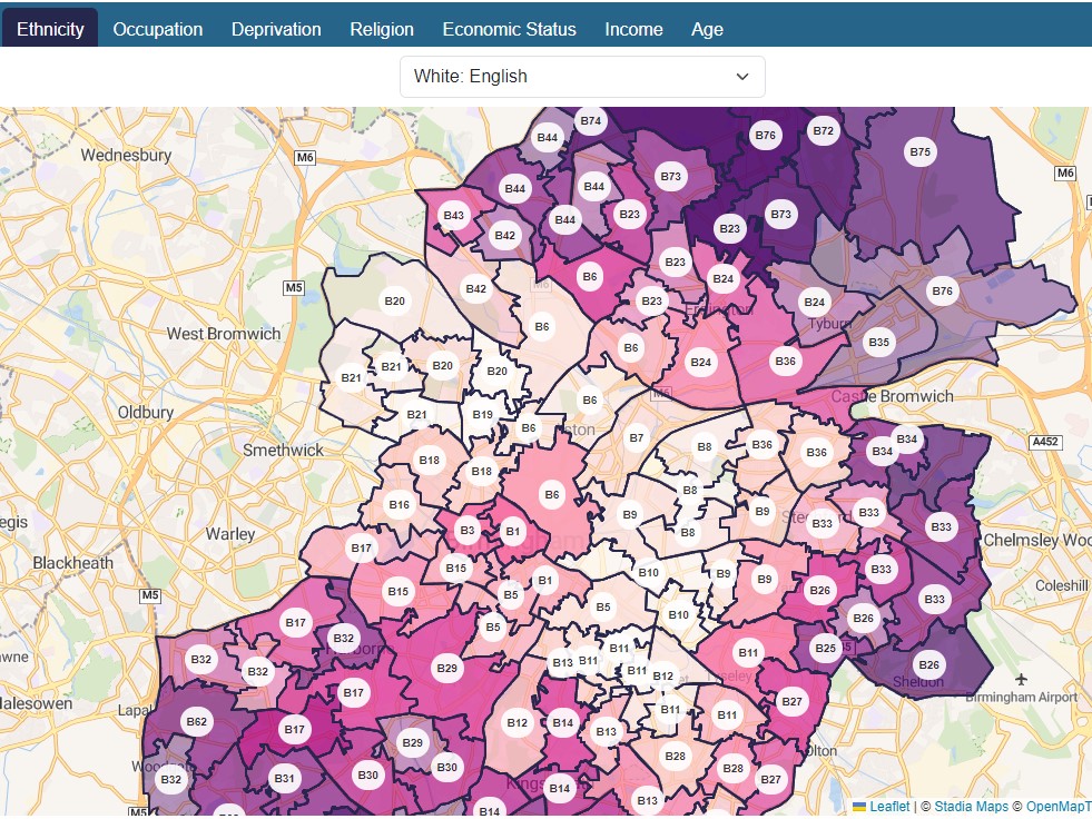
Interactive Map

Visualize demographics, crime rates, schools, amenities, and house prices on an interactive map.
Features
Essential Data Points
Demographics: Age distribution, household income, ethnicity, and educational levels.
Crime rates: Types of crimes, incident numbers, and trends over time.
Schools: Performance ratings, contact details, and address.
Amenities: Shops, restaurants, healthcare facilities, and other local services.
Average sold house prices: Historical house price data and current market trends.
User-Friendly Design
Presents information in a clear, concise, and visually appealing manner.
Employs intuitive interfaces and interactive elements to enhance user experience.
Optimizes for mobile responsiveness to ensure seamless access across devices.
Offers user-friendly search functionality to quickly find information about specific postcodes or explore areas on the interactive map. Provides clear navigation menus for easy access to different features and data categories.
What is this site about?
Postcodeinfo.uk provides information about postcodes in the United Kingdom. It includes information such as the postcode district, the postcode sector, the latitude and longitude of the postcode, and the electoral ward that the postcode is in.
The website has a database of over 2 million postcodes.
Postcodeinfo: Your neighborhood knowledge powerhouse for the UK.
Find Nearby Crime Rates
Knowing the crime rates of an area is essential for Personal safety and making decisions about where to live, work, and raise a family. If an area has a high crime rate, it may be more difficult to sell your home for a good price.
Find Nearby NHS GPs
Going to a GP near home or work is more convenient. This can save you time and hassle, especially if you are not feeling well. If you have a GP near your postcode, you are likelier to see them regularly and build a relationship with them.
Find Nearby Amenities
Amenities provide a sense of community and make the neighbourhood more desirable if the area has a good mix of amenities, including parks, restaurants, and shops. This makes it a desirable place to live, which can help to boost house prices.
Find Nearby Sold House Prices
Sold house prices can give you a good understanding of the current market value of properties in your area. This can be helpful if you are considering buying or selling a home. Sold house prices can also help you identify trends in the local market.